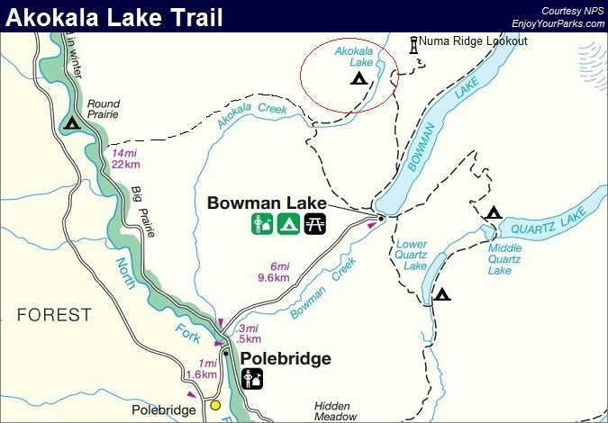
Akokala Lake
Includes Akokala Lake Trail, West Lakes Trail
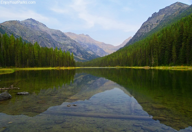
Akokala Lake, Glacier National Park
Akokala Lake
Trailhead: Bowman Lake Campground
Distance: 5.8 miles (one way)
Elevation Gain: 1,105 vertical feet
Elevation Loss: 400 vertical feet
The Akokala Lake Trail in Glacier National Park is one of the easier Glacier Park hikes on the northwest side of Glacier Park. This enjoyable hike that takes you through through wooded valleys and ridges to a small scenic mountain lake that is surrounded by towering peaks. Located in the Bowman Lake Area of the North Fork section of Glacier National Park, the hike to Akokala Lake makes for a good day while visiting the Bowman Lake Area.
Finding The Trailhead
The trailhead to Akokala Lake is located at the Bowman Lake Campground. To get to Bowman Lake you must first drive 25 miles along the west side of Glacier National Park to the Polebridge Ranger Station. To get to this ranger station, take a right at Apgar Village and keep going past the junction to the Fish Creek Campground. This nicely paved road, known as the Camas Road, lasts about 11 miles. Once you cross the North Fork of the Flathead River, you will then take another right onto the mostly unpaved Outside North Fork Road for about 14 miles. Just about a half mile beyond the historic Polebridge Mercantile is the Polebridge Ranger Station, which is the northwest entrance to Glacier National Park.
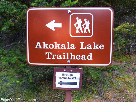
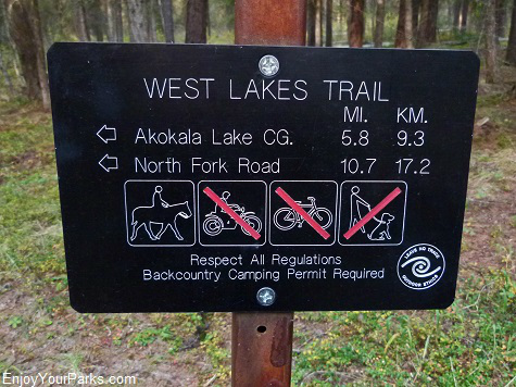 Once you enter Glacier National Park at the Polebridge Ranger Station, in about 0.3 miles you will see the Bowman Lake Road junction. Take a right and drive 6 miles up the bumpy gravel road as it abruptly climbs in elevation as it works its way to Bowman Lake and the Bowman Lake Campground. The actual trailhead to Akokala Lake is literally located at campsite #22 in the campground, but you need to park your car at the "trailhead parking area" that is located just outside the campground. There is an easy to find trail that takes you to the actual trailhead at campsite #22. The name of the trail that you begin on is called the West Lakes Trail.
The Hike to Akokala Lake
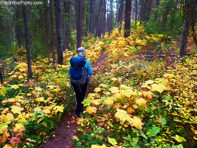
The hike to Akokala Lake in Glacier National Park is a pleasant hike through forested ridges and valleys, and the trail (known as the West Lakes Trail) is especially nice during the autumn color change.
The hike to Akokala Lake in Glacier National Park is quite enjoyable. There are not tremendous vistas as you hike along this Glacier Park hiking trail (until you get to the lake shore), but you do walk through forested ridges and valleys that are quite nice. Initially, the trail (called the West Lakes Trail) works its way up and over the lower west portion of Numa Ridge, and the trail then descends fairly rapidly down into Akolala Creek.
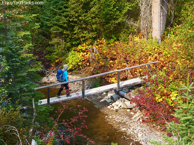
Shannon is crossing Akokala Creek in Glacier National Park on a well built foot bridge. The trail initially climbs up and over Numa Ridge, and then drops down to Akokala Creek.
Just beyond Akokala Creek, at mile 3.6, you will reach the Akokala Lake Trail Junction. The trail to the left (which is a continuation of the West Lakes Trail) takes you on a westerly hike 7.1 miles to the Inside North Fork Road. Take the trail to the right to get to Akokala Lake via the Akokala Lake Trail.
For a portion of the trail, you will walk through the aftermath of the 1988 North Fork Fire, where lodgepole pine trees are beginning to gain a foothold. You will gain about 1,055 vertical feet and lose about 400 feet as you make your way to Akokala Lake, but the gain and loss is not too extreme therefore making this hike quite pleasant.
Akokala Lake Trail Junction (mile 3.6)
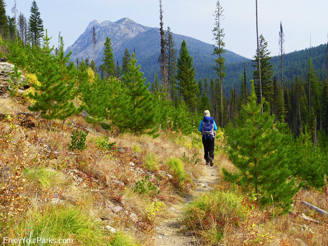
Here's Shannon walking through the aftermath of the 1988 North Fork Fire along the Akokala Lake Trail in Glacier National Park, with Numa Peak in the distance.
Akokala Lake (mile 5.8)
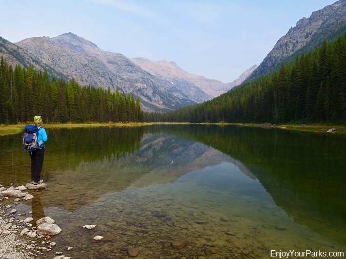
Akokala Lake in Glacier National Park gives you a good view of some extremely remote peaks that are located in the Northern Wilderness of Glacier Park.
Akokala Lake is a small mountain lake that has some giant mountains such as Reuter Peak, Mount Peabody, Numa Peak and the south ridge of Kintla Peak visible in the background. These remote giants are seldom visited and seldom seen, so it's quite a treat seeing these elusive mountains on such a short day hike (see photo below)...
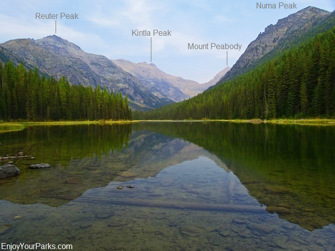
Here are the names of the towering remote peaks that you can see from the southern shore of Akokala Lake in Glacier National Park. Most people never see these remote giants because they are tucked deep inside the remote Northern Wilderness of Glacier Park.
Once you get to the southern lake shore during your Glacier National Park hike, there is a great place to eat lunch and enjoy the view.
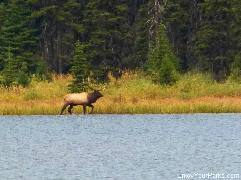
The last time we visited Akokala Lake, a large mature bull elk walked through the shallows along the northeast shore, which was a nice bonus.
Also, on the way back from Akokala Lake we saw a wolverine on the trail, which is an extremely rare event. That alone made our day!
Akokala Lake Campground (mile 5.8)
There is a backcountry campground next to Akokala Lake, which requires a backcountry permit. Permits and reservations can be made at any Glacier National Park backcountry office or visitor center.
Even though the hike to Akokala Lake is not among our "Top Ten Things To Do in Glacier National Park", and is not among our absolute favorite Glacier Park hikes, it is still a very nice hike and is a good choice for a good day hike in the Bowman Lake area of Glacier National Park.


